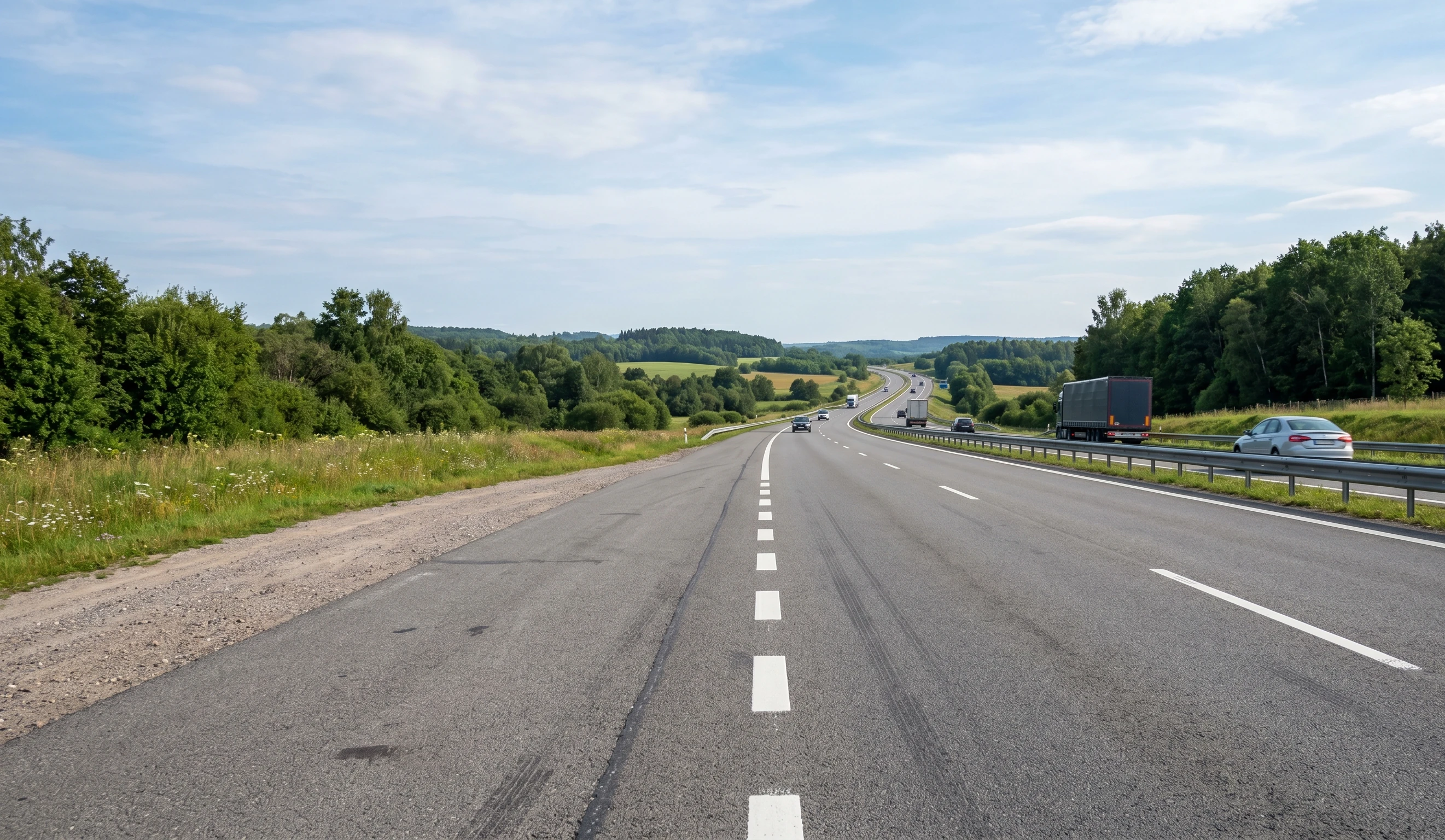
Road condition data, ready for planning
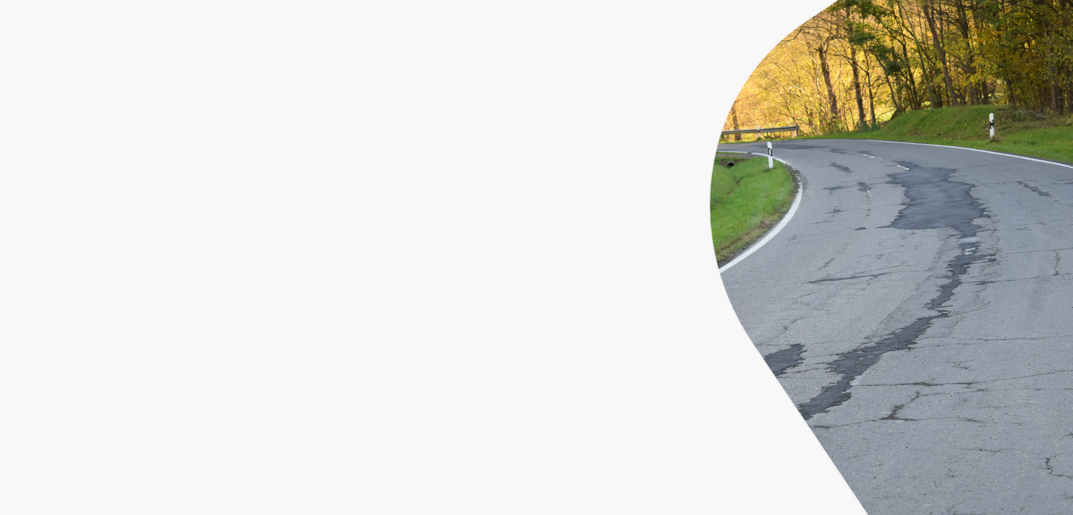
Flowity Road turns recorded road footage into structured, geolocated condition data. By lowering the cost of inspections, it makes recurring surveys more practical, helping teams follow deterioration over time, plan earlier interventions and reduce long-term maintenance costs.
How it works
From footage to usable road data
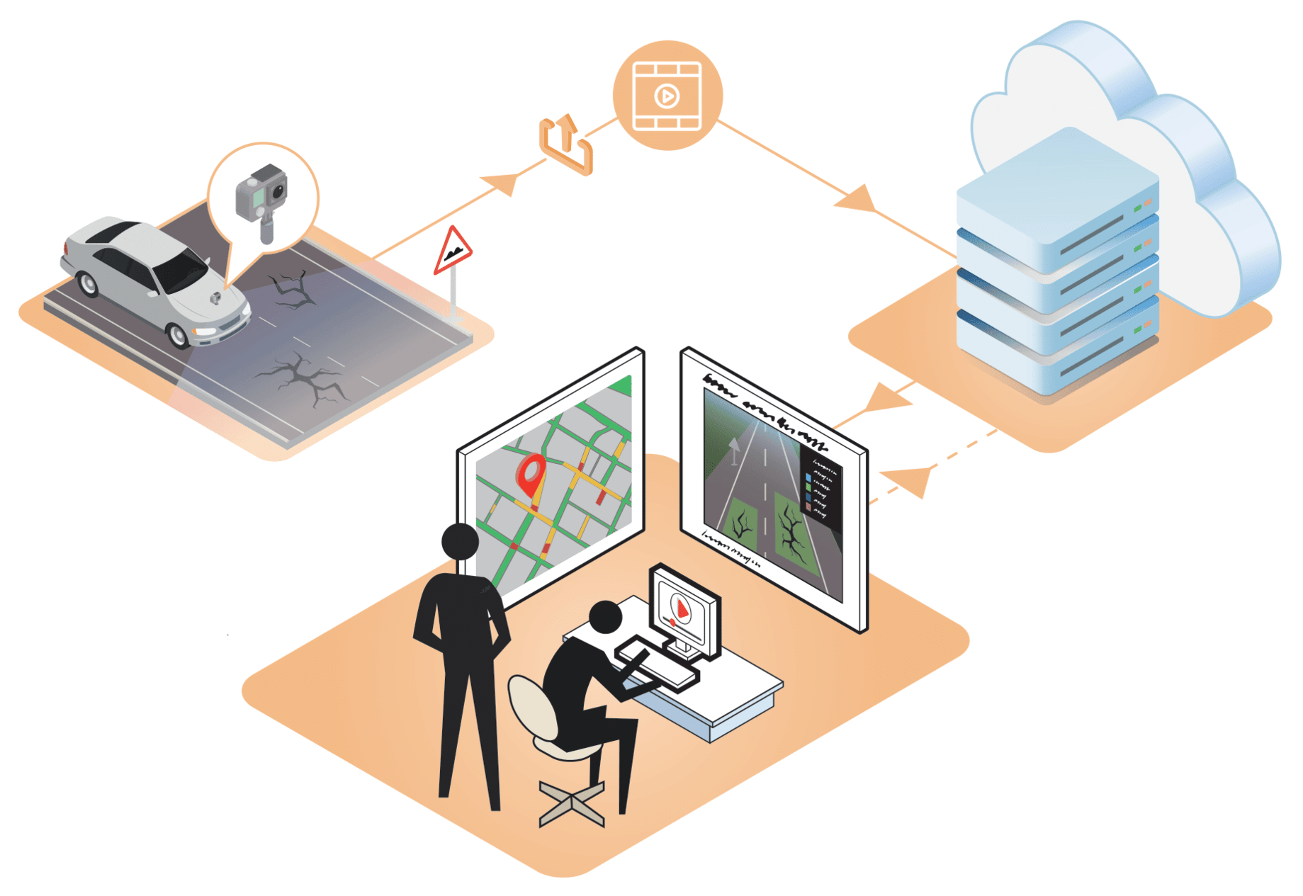
Use footage from inspection drives, contractor surveys or existing video sources. Flowity Road processes the material and delivers documented outputs your team can review, use and follow up.
- Detect: Visible road issues are identified from recorded footage.
- Structure: Defects are classified, located and connected to source material.
- Deliver: Outputs are prepared for planning, GIS, PMS and asset management workflows.
What you get:
See it in action
Watch road footage become usable condition data
See how Flowity Road turns recorded road video into structured outputs for planning, budgeting and maintenance follow-up.
Book a pilotDetected and mapped
A clearer view of the road environment
Flowity Road can identify and map the road conditions and assets that matter for maintenance planning.
Cracks
Potholes
Rutting
Edge damage
Road wear
Road markings
Traffic signs
Manholes
Road width
Material needs for repairs
Why teams trust it
Built for decisions that need to hold up
Verifiable precision
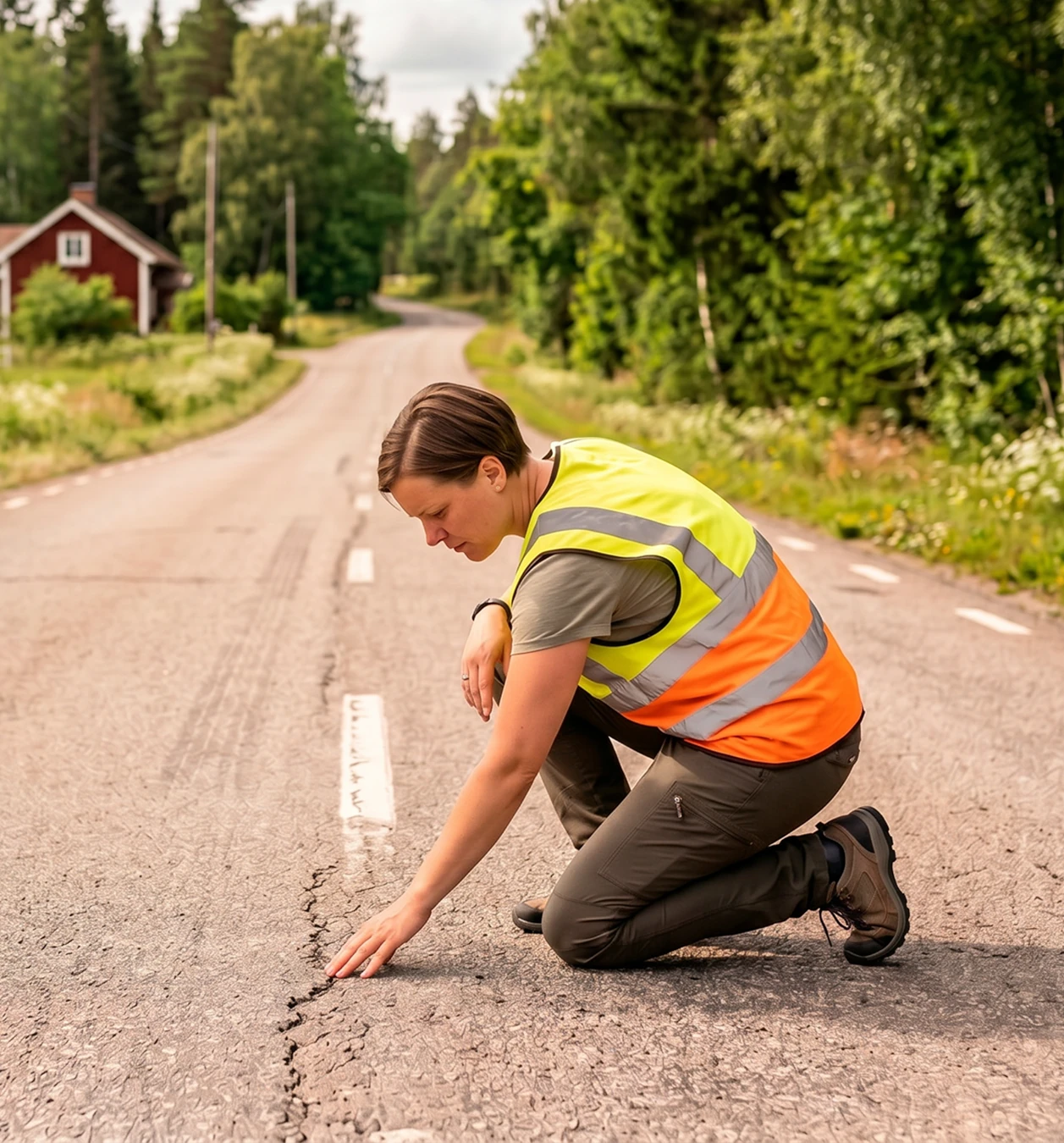
Each identified defect is geolocated and linked to its source video frame, making it easier to review, verify and understand the data behind every observation.
Practical
Outputs are prepared for planning, budgeting, GIS, PMS and asset management workflows, so the data can support the work already happening around maintenance.
Accessible
Flowity Road is cloud-based and available when your team needs it. Upload road footage, review processed outputs and access GIS-ready maps from the office or out in the field.
Long-term
Repeated analysis helps teams compare road conditions over time, follow deterioration and build a stronger basis for future maintenance planning.
How it works
Flowity Road
Flowity Road AI leverages machine learning to detect and analyze road defects with precision. With streamlined data handling, detailed outputs, and actionable insights, it empowers users to optimize maintenance planning and improve road management efficiently.
How it works

Talk to us
See what your road footage could show
Book a demo to see how Flowity can turn road video into structured condition data for planning, budgeting and maintenance follow-up.